Blog
Montia
One of the joys of cycling in the woods at this time of year is that you can come across a spectacle such as in the photo below. Montia sibirica is its name. I remember the first time I saw it, growing under an oak tree in the English Lake District, not far from Tarn Hows. It must have made an impression on me, because that was over 30 years ago. But I have never seen it is quite such profusion as this. Spectacular!

Spring on the heathland
Spring sunshine, perfect temperatures, skylarks singing in the air and spring flowers on the ground. Perfection!

Petition
Cutbacks in government spending mean that paths in the woods for mountain bikers and other recreational users are not being maintained. It makes no sense to have expensive campaigns to get people to take more exercise if you do not provide the facilities for them to do so. Please go to the link below and sign the petition!
http://reddebuitenrit.petities.nl/
The only note of caution I would add about such petitions is that we have to be very careful not to give the impression that we think that mountain bikers should be confined to official paths. In Wageningen we are fortunate that in a number of areas there is not that restriction. Not far away, on the Utrechtse Heuvelrug, that is strictly enforced. In areas like that, if the paths are not maintained then the woods will be closed to mountain bikers. The forestry service is muttering about charging admission instead. Whilst that might sound reasonable, it does not fit well with the aim of encouraging everyone to be fit and to get out into nature. The woods should be open to everyone, and that means providing the facilities. Sign the petition!
Twelve degrees
It really has been the most bizarre winter. No snow at all. Hardly a day of frost. Crocuses in flower in January and daffodils in flower in February. Hardly any days where long trousers were necessary on the mountain bike. Now it is nearly March and I'm wondering, are we going to get a winter or not? There is certainly enough water. With the lack of frost, the trails round here are like they usually are in November; deep slushy mud. My daughter's new bike has Racing Ralph tyres on the wheels, which are all very well for speed, but in these conditions spin around hopelessly. I guess we will need to swap at last the front one for something with bigger knobbly bits. Maybe my back tyre can go on her front. Thank goodness we did not decide to go for 29" wheels, that makes this sort of thing ever so much easier.

The only way to avoid the crowds
After some wet and gloomy days, it as beautiful sunny weather today, and warm; 7 degrees C, which is about 10 degrees more than it should be at the beginning of February. That had the inevitable consequence that near enough the entire population of Wageningen was out in the woods walking their dogs. So the choice was either to slow down and avoid the dogs and their owners every few minutes (good for track-stand practice, but otherwise not such fun) or to take the alternative route. Which was wet and full of muddy mud. If you know me, you know which option I went for...

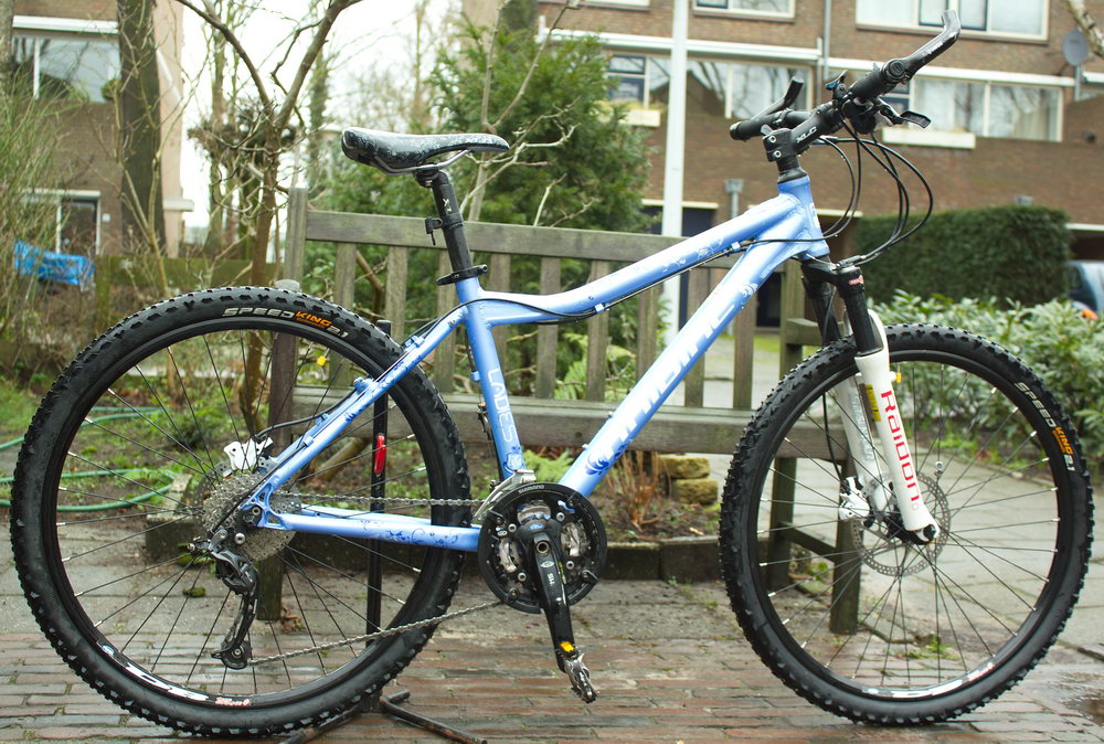
Mountain bike for sale
Good quality ladies/girls Haibike, 43 cm frame, 26"wheels. See http://link.marktplaats.nl/m782071395

